Preliminary Analysis
Research Questions
This project partly aims to produce a digital edition and translation of an otherwise little-known text. But there are research questions underpinning the production of that resource, and which underscore the value of this source.
What was the protectorate of Bukhara? Typical maps of the region during this period posit nice, clean boundaries of the polity:
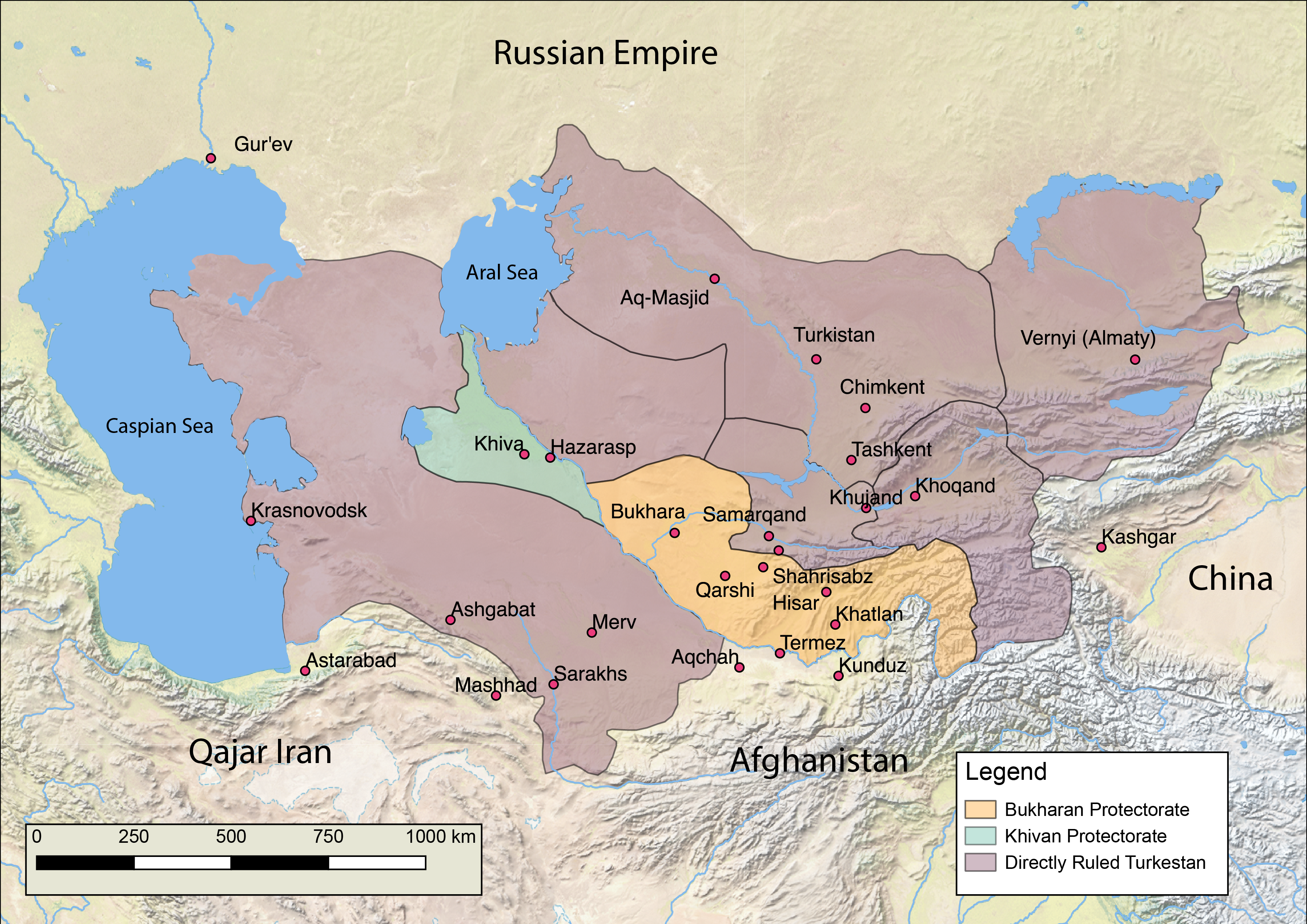
But what were the contours of that territory? Not all of the territory shaded yellow in maps such as the above were equally integrated into the protectorate. Infrastructure development varied, as did the sacred geogrpahy. Even seemingly basic questions like relative population levels is not something we have a clear picture of during this period. And although we are still just barely scratching the surface, having only edited and translated three province sections of Gulshani's text, in principle the source sheds light on all of these questions.
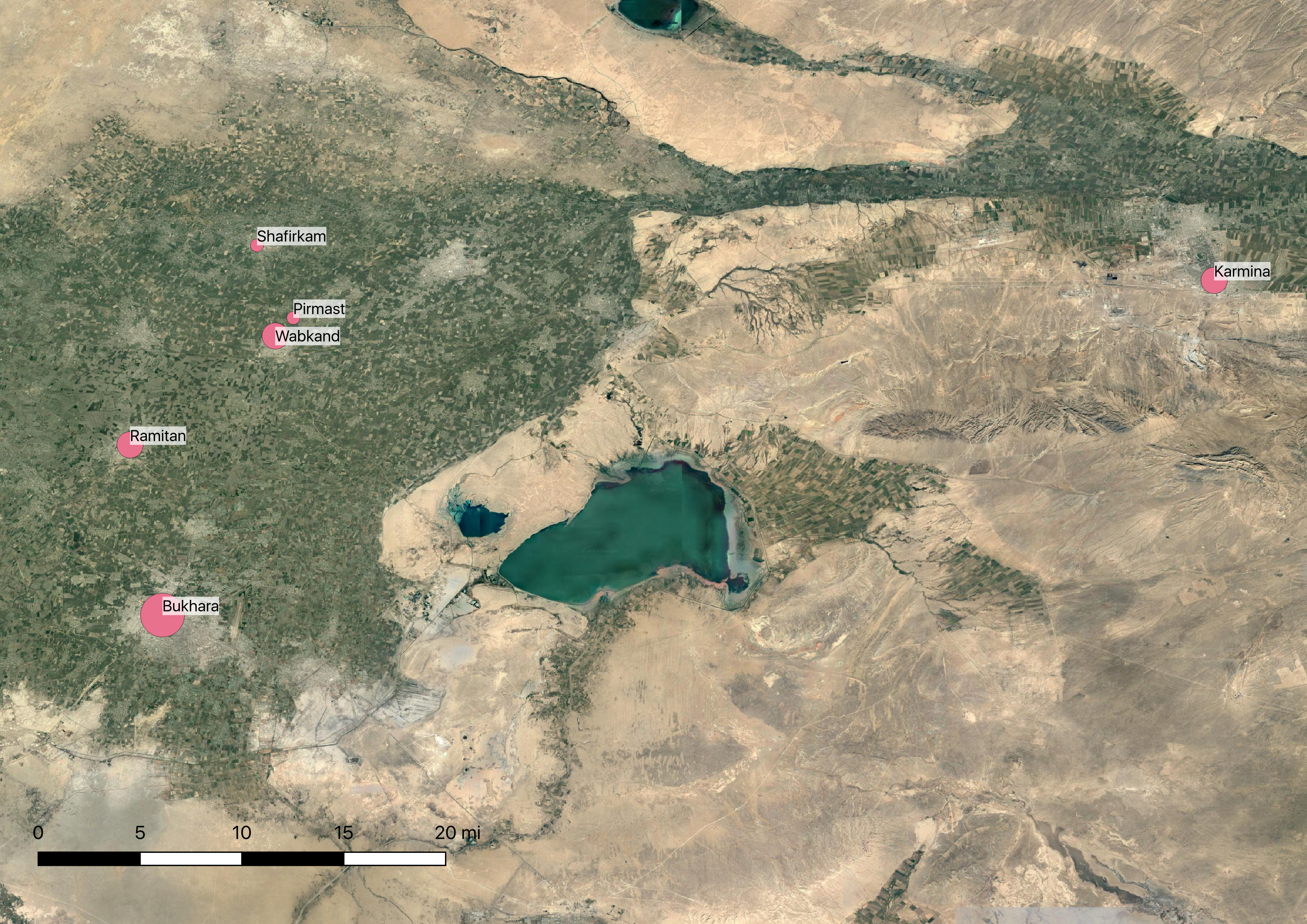
Population Levels
For instance, the cirles in this map are sized proportionate to the total population of the province, according to Gulshani. (Again, only the provinces we have covered so far).
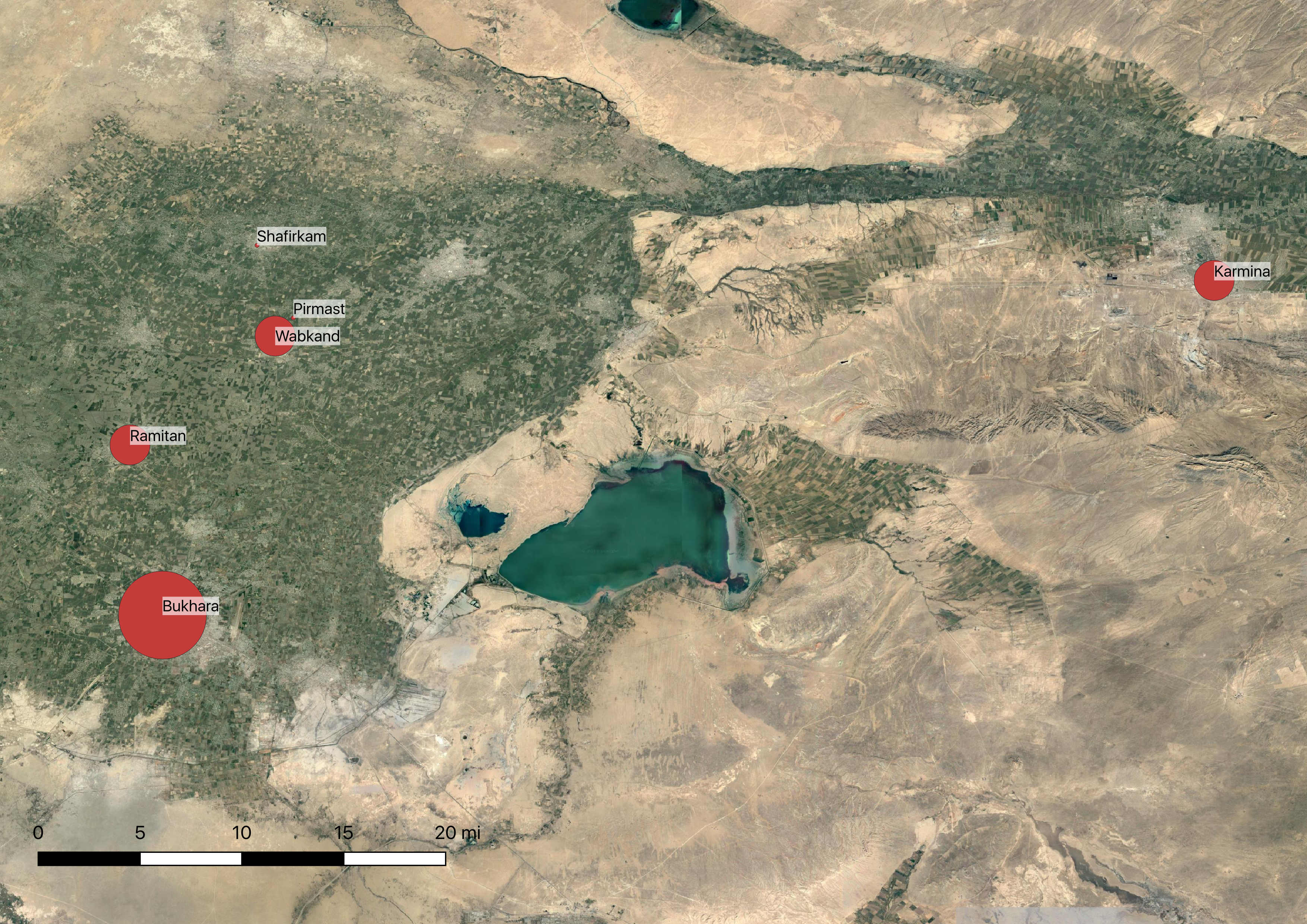
Religious Infrastructure I: Mosques
This map offers a sense of the density of mosques by province:
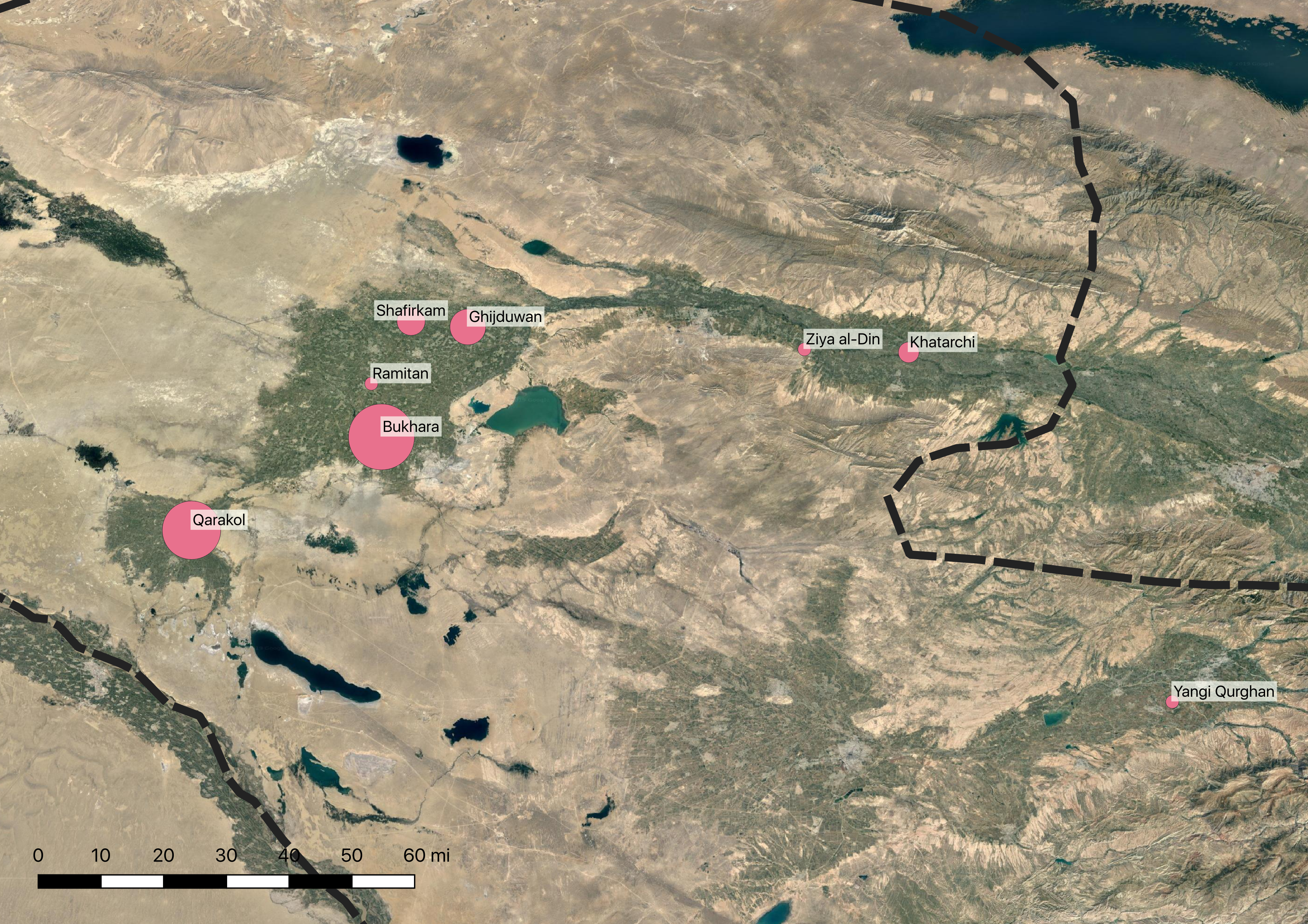
Religious Infrastructure II: Sufi Lodges
And this one offers a sense of the how integrated different provinces were into Sufi networks by representing the number of lodges in the area: